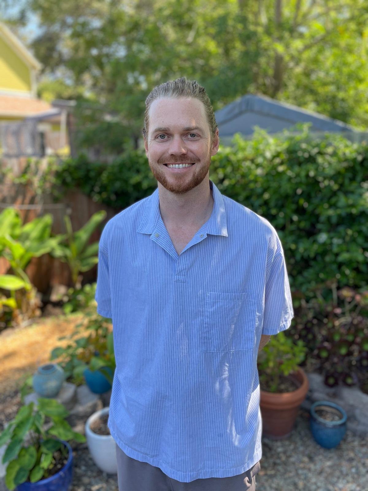
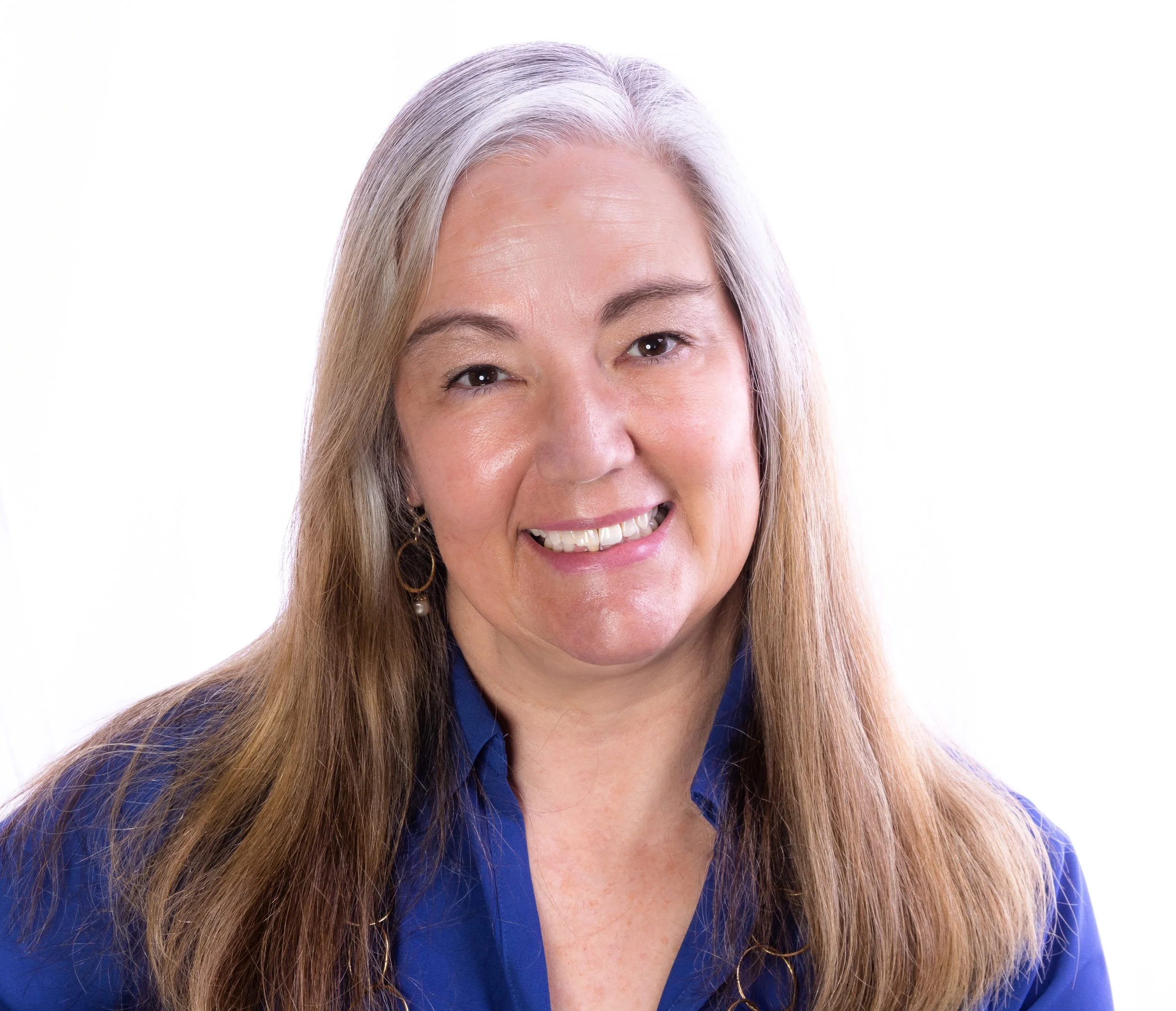
Our Team.
David Saah
President
David Saah, PhD, is an environmental scientist and global leader in geospatial analysis, remote sensing, wildfire science, and natural hazard modeling. He is a Professor and Director of the Geospatial Analysis Lab at the University of San Francisco, Co-founder and Managing Principal of the Spatial Informatics Group, and Principal Investigator for Pyregence. David is known for his commitment to impactful research and innovative dissemination through publications, presentations, and workshops that advance the field of geospatial technology.
Rick Kos
Education Director & Vice President
Rick Kos leads BayGeo’s GIS Education Center, managing a robust program of workshops for students and professionals. He is a faculty member in the Master of Urban Planning program at San Jose State University and a Lecturer in Stanford’s Urban Studies program. Rick previously served as a town planner and GIS coordinator in North Carolina, where he worked on land use, web design, and geospatial analysis for local governments.
Fernanda Lopez Ornelas
Board Member
Fernanda Lopez Ornelas is the Lab Manager at the Geospatial Analysis Lab at the University of San Francisco. She was among the first to earn USF’s GIS Certificate and is passionate about advancing the field through remote sensing and LiDAR technologies. Fernanda has contributed to research projects that use LiDAR to assess aboveground biomass and continues to support innovative geospatial research and education.
Cam Denney
Board Member
Assistant Education Director
Cam Denney is a cartographer and GIS professional. In addition to his role as BayGeo’s Assistant Education Director, Cam is adjunct faculty at University of San Francisco and works on the mapping team of the California Coastal Commission. Cam has used geospatial tools in previous roles with the World Health Organization's GIS Centre for Health, Alameda County Food Bank, and Facebook’s Spatial Computing Team.
Worlasie Djameh
Board Member
Worlasie Djameh is a geospatial advocate focused on the intersection of GIS and energy systems. Her journey began in the solar industry, using satellite-derived data to optimize solar panel placement. She expanded this passion during her graduate studies at the University of San Francisco, where she explored GIS applications for solving energy challenges. Today, Worlasie remains active in the Bay Area geospatial community, advancing innovative solutions in the solar and energy sectors.
Jessica Sandoval
Board Member
Jessica Sandoval is a associate transportation planner at Fehr & Peers in San Francisco, where she specializes in planning projects focused on data visualization, GIS analysis, and travel behavior models. Jess is dedicated to using geospatial data and analytics to inform transportation decisions in communities across Northern California. Her expertise supports complex and high-profile projects that require thoughtful and inclusive communication strategies.
Ian Morales
Board Member
Ian Morales is a geospatial professional passionate about cartography, GIS, and effective communication. As the founder and CEO of a geospatial software and consulting firm, he works to make complex geospatial concepts accessible. Ian’s work emphasizes clarity in mapping and analysis, with particular interests in infrastructure, historic cartography, and the role of GIS in planning and operations.
Judi Heher
Board Member & Member Services Director
Judi is an educator and independent GIS consultant with a focus on cultural outreach and nonprofit VOAD/COAD organizations. She builds interactive mapping applications that bring stories to life—blending data analysis and creative visualization to make maps more than just visuals. Judi thrives at the intersection of critical thinking and creative design: she loves grappling with complex spatial data and shaping it into compelling, accessible maps.
Garrett Bradford
Board Member
Garrett Bradford leads GIS efforts for the Property and Casualty Practice at Milliman in San Francisco. He specializes in data visualization and spatial analysis for the insurance industry, helping clients interpret geographic patterns that influence pricing and underwriting. Garrett’s work ensures that spatial data is integrated throughout the analytical process to drive sound business decisions.
Paul Nesbit
Board Member
Paul Nesbit is an Assistant Professor in the Department of Environmental Science at the University of San Francisco. He teaches GIS, Python for GIS, and remote sensing, and his research focuses on advanced geospatial workflows for environmental and geologic analysis. Paul integrates drone photogrammetry, deep learning, and 3D geovisualization—often through video game engines—to enhance education and science communication.
Liam Maier
Board Member
Liam Maier is a Senior Solutions Engineer at Earth Force Technologies and founder of Lidar Liam Consulting LLC. His background includes serving on the Truckee Hotshots wildfire crew, where he saw firsthand the importance of maps in emergency response. He holds a Master of Forestry and a Graduate Certificate in Geospatial Information Science from UC Berkeley. Liam’s work spans geospatial risk assessment, remote sensing, and LiDAR hardware development, with a focus on modernizing forestry data workflows to support land stewardship.


